
tóng-àn:USA Florida location map.svg

此 SVG 檔案的 PNG 預覽的大小:619 × 599 siōng-sò͘。 Kî-thaⁿ--ê kái-sek-tō͘: 248 × 240 siōng-sò͘ | 496 × 480 siōng-sò͘ | 793 × 768 siōng-sò͘ | 1,058 × 1,024 siōng-sò͘ | 2,115 × 2,048 siōng-sò͘ | 1,132 × 1,096 siōng-sò͘.
Choân kái-sek-tō͘ (SVG ùng-giông, chék-cháung: 1,132 × 1,096 chuông-só, ùng-giông duâi-nâung:578 KB)
|
|
Che sī tùi Wikimedia Commons ín--lâi ê chi̍t hūn tóng-àn. I tī hia ê kì-su̍t-ia̍h téng-bīn ê chu-sìn hián-sī ùi ē-té. |
Khài-iàu
| Soat-bêng |
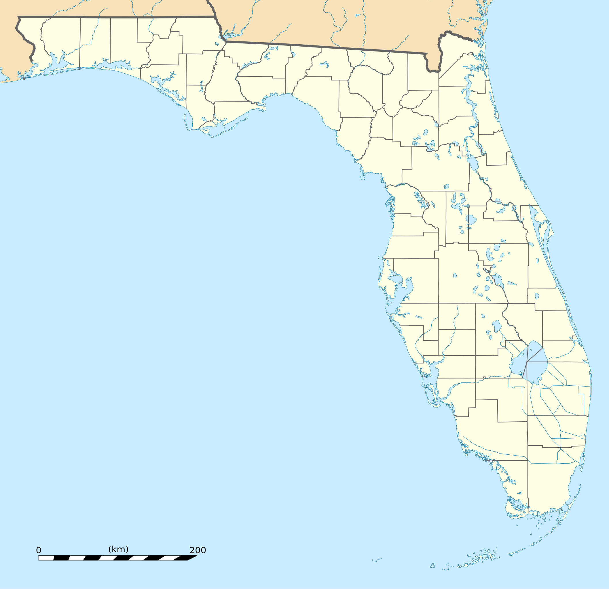
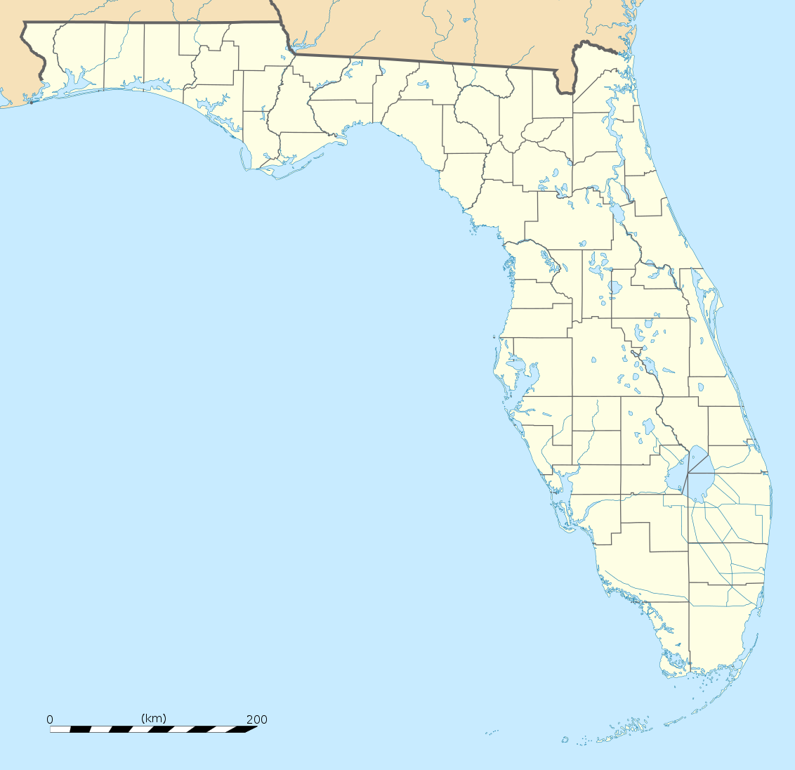
English: Blank administrative map of the State of Florida, USA, for geo-location purpose, with counties boundaries.
Français : Carte administrative vierge de l'état de Floride, États-Unis, destinée à la géolocalisation, avec limite des comtés. Equirectangular projection, WGS84 datum
Scale: 1:2,000,000
|
| 日期 | |
| Chhut-chhù |
Own work |
| Chok-chiá | Eric Gaba (Sting - fr:Sting) |
| 其他版本 |
此檔案衍生的作品: 此檔案衍生的作品:
|
| SVG開發 |


| 拍攝地點 | | 位於此地的本圖片與其他圖片: OpenStreetMap |
|---|
Siū-khoân
| Attribution required |
|---|
| Any use of this map can be made as long as you credit me (Eric Gaba – Wikimedia Commons user: Sting) as the author. A message with a reply address would also be greatly appreciated. |
我,本作品的著作權持有者,決定用以下授權條款發佈本作品:
此檔案採用創用CC 姓名標示 3.0 未在地化版本授權條款。
- 你會使自由:
- 分享 – kho͘-pih, hoat-pò͘ kap thoân-pò͘ pún chok
- 重新修改 – kái-pian pún chok-phín
- Àn i-hā ê tiâu-kiāⁿ
- 標示名姓 – 您必須指名出正確的製作者,和提供授權條款的連結,以及表示是否有對內容上做出變更。您可以用任何合理的方式來行動,但不得以任何方式表明授權條款是對您許可或是由您所使用。
Tóng-àn le̍k-sú
Chhi̍h ji̍t-kî/sî-kan, khoàⁿ hit sî-chūn--ê tóng-àn.
| Ji̍t-kî/Sî-kan | Sáuk-liŏk-dù | Chióh-cháung | Iōng-chiá | Chù-kái | |
|---|---|---|---|---|---|
| hiān-chāi | 2008-nî 12-goe̍h 15-ji̍t (pài-it) 20:25 | | 1,132 × 1,096(578 KB) | Sting | Counties boundaries: thinner strokes |
| 2008-nî 12-goe̍h 15-ji̍t (pài-it) 19:49 |  | 1,132 × 1,096(578 KB) | Sting | == Summary == {{Location|27|45|00|N|83|49|30|W|scale:4000000}} <br/> {{Information |Description={{en|Blank administrative map of the State of Florida, USA, for geo-location purpose, with counties boundaries.}} {{fr|Ca |
Iáⁿ-siōng liân-kiat
超過 100 個頁面有用到此檔案。 下列清單只列出前 100 筆有用到此檔案的頁面。 您也可以檢視完整清單。
- Alachua (Florida)
- Alford (Florida)
- Altamonte Springs (Florida)
- Altha (Florida)
- Altoona (Florida)
- Alva (Florida)
- Andover (Florida)
- Andrews (Florida)
- Anna Maria (Florida)
- Apalachicola (Florida)
- Apollo Beach (Florida)
- Apopka (Florida)
- Arcadia (Florida)
- Archer (Florida)
- Aripeka (Florida)
- Asbury Lake (Florida)
- Astatula (Florida)
- Astor (Florida)
- Atlantic Beach (Florida)
- Atlantis (Florida)
- Auburndale (Florida)
- Aventura (Florida)
- Avon Park (Florida)
- Azalea Park (Florida)
- Babson Park (Florida)
- Bagdad (Florida)
- Bal Harbour (Florida)
- Baldwin (Florida)
- Bartow (Florida)
- Bascom (Florida)
- Bay Harbor Islands (Florida)
- Bay Hill (Florida)
- Bay Lake (Florida)
- Bay Pines (Florida)
- Bayonet Point (Florida)
- Bayport (Florida)
- Bayshore Gardens (Florida)
- Beacon Square (Florida)
- Bee Ridge (Florida)
- Bell (Florida)
- Bellair-Meadowbrook Terrace (Florida)
- Belle Glade (Florida)
- Belle Glade Camp (Florida)
- Belle Isle (Florida)
- Belleair (Florida)
- Belleair Beach (Florida)
- Belleair Bluffs (Florida)
- Belleair Shore (Florida)
- Belleview (Florida)
- Bellview (Florida)
- Beverly Beach (Florida)
- Beverly Hills (Florida)
- Big Coppitt Key (Florida)
- Big Pine Key (Florida)
- Biscayne Park (Florida)
- Bithlo (Florida)
- Black Diamond (Florida)
- Bloomingdale (Florida)
- Blountstown (Florida)
- Boca Del Mar (Florida)
- Boca Pointe (Florida)
- Boca Raton (Florida)
- Bokeelia (Florida)
- Bonifay (Florida)
- Bonita Springs (Florida)
- Bonnie Lock-Woodsetter North (Florida)
- Boulevard Gardens (Florida)
- Bowling Green (Florida)
- Boyette (Florida)
- Boynton Beach (Florida)
- Bradenton (Florida)
- Bradenton Beach (Florida)
- Brandon (Florida)
- Branford (Florida)
- Brent (Florida)
- Briny Breezes (Florida)
- Bristol (Florida)
- Broadview-Pompano Park (Florida)
- Broadview Park (Florida)
- Bronson (Florida)
- Brooker (Florida)
- Brookridge (Florida)
- Brooksville (Florida)
- Broward Estates (Florida)
- Brownsville (Florida)
- Buckhead Ridge (Florida)
- Buckingham (Florida)
- Bunche Park (Florida)
- Bunnell (Florida)
- Burnt Store Marina (Florida)
- Bushnell (Florida)
- Butler Beach (Florida)
- Campbell (Florida)
- Canal Point (Florida)
- Captiva (Florida)
- Carol City (Florida)
- Carver Ranches (Florida)
- Jacksonville
- Miami
- Tallahassee
檢視連結到這個檔案的更多連結。
tóng-àn hō͘ lâng sái--ê chōng-hóng
Ē-kha--ê kî-thaⁿ wiki ēng tio̍h chit--ê tóng-àn:
- af.wikipedia.org hō͘ lâng ēng--ê chêng-hêng
- an.wikipedia.org hō͘ lâng ēng--ê chêng-hêng
- ar.wikipedia.org hō͘ lâng ēng--ê chêng-hêng
- ast.wikipedia.org hō͘ lâng ēng--ê chêng-hêng
- azb.wikipedia.org hō͘ lâng ēng--ê chêng-hêng
- تالاهاسی
- فورت لادردیل، فلوریدا
- ایقل لیک، فلوریدا
- کی وست، فلوریدا
- وست پام بیچ، فلوریدا
- برادنتون بیچ، فلوریدا
- سانشاین اکریز، فلوریدا
- آیلند والک، فلوریدا
- آسیلا، فلوریدا
- قاردن قروو، فلوریدا
- واکینا، فلوریدا
- اسپرینق ریج، فلوریدا
- رالی، فلوریدا
- وستلیامن، فلوریدا
- لیک میستیک، فلوریدا
- براونزدیل، فلوریدا
- ریورریج، فلوریدا
- قاردنر، فلوریدا
- بریدیل، فلوریدا
- مانسون، فلوریدا
- سن کاستل، فلوریدا
- مانتیورا، فلوریدا
- آوو ماریا، فلوریدا
- اونا، فلوریدا
- تایقر پوینت، فلوریدا
- آریپکا، فلوریدا
- بروستر، فلوریدا
- پوینت بیکر، فلوریدا
- واترقیت، فلوریدا
- میولات، فلوریدا
- میدو اوکس، فلوریدا
- فلوریداتاون، فلوریدا
- کبنا کالنی، فلوریدا
- فورت قرین اسپرینقز، فلوریدا
- مانت کارمل، فلوریدا
- ورونا واک، فلوریدا
- هریتیج پاینز، فلوریدا
- کانرتون، فلوریدا
檢視此檔案的更多全域使用狀況。