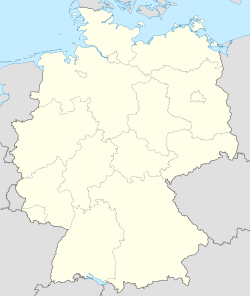
Bollendorf
| Bollendorf | |||
| — Kong-siā — | |||
|
|||
 |
|||
| Keng-hūi-tō͘: 49°51′11″N 6°21′42″E / 49.85306°N 6.36167°E | |||
| Kok-ka | |||
|---|---|---|---|
| Liân-pang-chiu | Rheinland-Pfalz | ||
| Kūn | Bitburg-Prüm | ||
| Hiong | Südeifel | ||
| Bīn-chek | |||
| - Lóng-chóng | 13.15 km2 | ||
| Koân-tō͘ | 200 m | ||
| Sî-khu | CET (UTC+1) | ||
| - Jo̍at--lâng | CEST (UTC+2) | ||
Bollendorf sī Tek-kok Rheinland-Pfalz Chiu Bitburg-Prüm Kūn Südeifel Hiong ê chi̍t ê kong-siā (Gemeinde).[1]
Chham-oa̍t[siu-kái | kái goân-sí-bé]
Chham-khó[siu-kái | kái goân-sí-bé]
- ↑ "Bevölkerungsstand 2019, Kreise, Gemeinden, Verbandsgemeinden". Statistisches Landesamt Rheinland-Pfalz (Tek-gí). 2020.
|


