
tóng-àn:Surrey UK location map.svg

此 SVG 檔案的 PNG 預覽的大小:790 × 599 siōng-sò͘。 Kî-thaⁿ--ê kái-sek-tō͘: 317 × 240 siōng-sò͘ | 633 × 480 siōng-sò͘ | 1,013 × 768 siōng-sò͘ | 1,280 × 971 siōng-sò͘ | 2,560 × 1,942 siōng-sò͘ | 1,425 × 1,081 siōng-sò͘.
Choân kái-sek-tō͘ (SVG ùng-giông, chék-cháung: 1,425 × 1,081 chuông-só, ùng-giông duâi-nâung:1.93 MB)
|
|
Che sī tùi Wikimedia Commons ín--lâi ê chi̍t hūn tóng-àn. I tī hia ê kì-su̍t-ia̍h téng-bīn ê chu-sìn hián-sī ùi ē-té. |
| Soat-bêng |
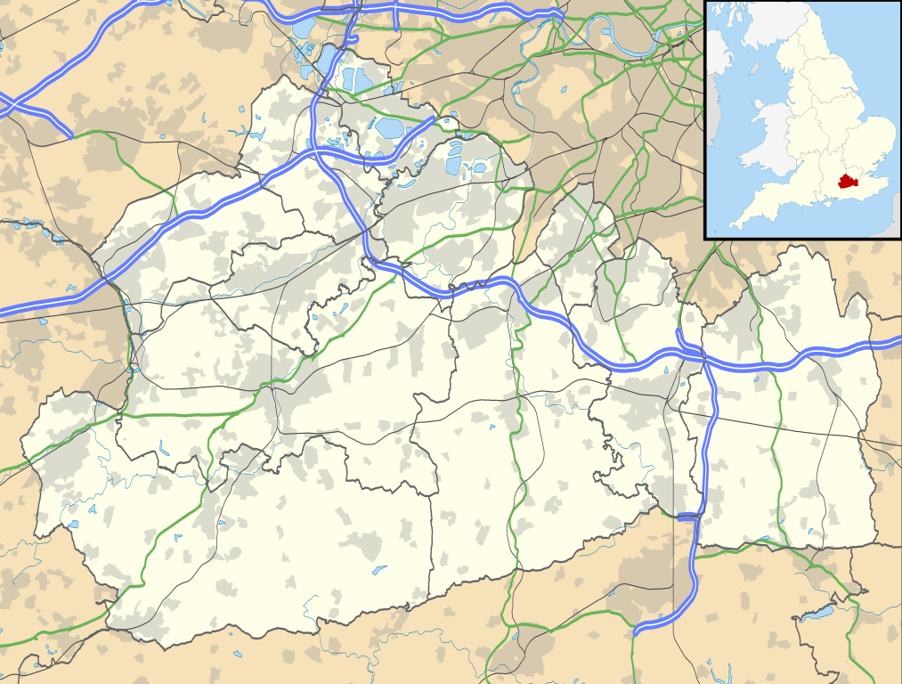
Map of Surrey, UK with the following information shown:
Equirectangular map projection on WGS 84 datum, with N/S stretched 160% Geographic limits:
|
| Ji̍t-kî | |
| Chhut-chhù |
|
| Chok-chiá | Nilfanion, created using Ordnance Survey data |
| 授權允准 (Bô siŏh-huòi sāi ciā ùng-giông) |
此檔案採用創用CC 姓名標示-相同方式分享 3.0 未在地化版本授權條款。 Biĕu-sê miàng-sáng: Contains Ordnance Survey data © Crown copyright and database right
|
| 其他版本 | File:Surrey UK district map (blank).svg - Blank map |
.svg)
Tóng-àn le̍k-sú
Chhi̍h ji̍t-kî/sî-kan, khoàⁿ hit sî-chūn--ê tóng-àn.
| Ji̍t-kî/Sî-kan | Sáuk-liŏk-dù | Chióh-cháung | Iōng-chiá | Chù-kái | |
|---|---|---|---|---|---|
| hiān-chāi | 2010-nî 9-goe̍h 26-ji̍t (lé-pài) 19:15 | | 1,425 × 1,081(1.93 MB) | Nilfanion | {{Information |Description=Map of Surrey, UK with the following information shown: *Administrative borders *Coastline, lakes and rivers *Roads and railways *Urban areas Equirectangular map projection on WGS 84 datum, with N/S stretched 160% |
Iáⁿ-siōng liân-kiat
Í-hā ê ia̍h liân kàu chit ê iáⁿ-siōng:
- Abinger
- Addlestone
- Albury (Surrey)
- Alfold (Surrey)
- Ash (Surrey)
- Ashford (Surrey)
- Banstead
- Betchworth
- Bisley (Surrey)
- Bletchingley
- Bramley (Surrey)
- Brockham
- Buckland (Surrey)
- Byfleet
- Capel (Surrey)
- Caterham (Surrey)
- Chaldon
- Charlwood
- Chertsey
- Chiddingfold
- Chobham
- Churt
- Claygate
- Compton (Surrey)
- Cranleigh
- Dormansland
- Dunsfold
- Earlswood
- East Clandon
- East Horsley
- Effingham (Surrey)
- Egham Hythe
- Elstead
- Englefield Green
- Ewell
- Ewhurst (Surrey)
- Farleigh
- Farnham (Surrey)
- Felbridge
- Frensham
- Godalming
- Godstone
- Hambledon (Surrey)
- Hascombe
- Haslemere
- Headley (Surrey)
- Horley (Surrey)
- Hurst Green (Surrey)
- Leigh (Surrey)
- Limpsfield
- Lingfield
- Mickleham
- Newdigate
- Normandy (Surrey)
- Nutfield
- Ockham (Surrey)
- Ockley
- Outwood
- Oxted
- Pirbright
- Puttenham
- Ripley (Surrey)
- Send
- Shackleford
- Shalford (Surrey)
- Shepperton
- Shere
- Tandridge
- Tatsfield
- Thursley
- Tilford
- Tongham
- Walton-on-Thames
- Wanborough (Surrey)
- Warlingham
- West Clandon
- West End (Surrey)
- West Horsley
- Whyteleafe
- Windlesham
- Wisley
- Witley
- Woldingham
- Wonersh
- Worplesdon
- Wotton
tóng-àn hō͘ lâng sái--ê chōng-hóng
Ē-kha--ê kî-thaⁿ wiki ēng tio̍h chit--ê tóng-àn:
- ar.wikipedia.org hō͘ lâng ēng--ê chêng-hêng
- bg.wikipedia.org hō͘ lâng ēng--ê chêng-hêng
- ceb.wikipedia.org hō͘ lâng ēng--ê chêng-hêng
- en.wikipedia.org hō͘ lâng ēng--ê chêng-hêng
- Staines-upon-Thames
- Dorking
- Guildford
- Effingham, Surrey
- Farnham
- Ashtead
- Leatherhead
- Epsom
- Wisley
- Cobham, Surrey
- Hindhead
- Fetcham
- Great Bookham
- East Horsley
- Cranleigh
- Oatlands, Surrey
- Little Bookham
- Godalming
- Reigate
- Camberley
- Milford, Surrey
- Dunsfold
- Winkworth Arboretum
- Weybridge
- Haslemere
- Redhill, Surrey
- Bramley, Surrey
- Haxted Watermill
- Ockham, Surrey
- Egham
- Esher
- Virginia Water
- Sunbury-on-Thames
- Pirbright
- Abinger Hammer
- Epsom railway station
- Send, Surrey
- Lingfield, Surrey
- Shalford, Surrey
- Waverley Abbey
- Ashford, Surrey
- Tadworth
- Church of St Peter & St Paul, Godalming
- Wormley, Surrey
- Guildford Cathedral
- Witley
- Hambledon, Surrey
檢視此檔案的更多全域使用狀況。