
tóng-àn:Swansea UK location map.svg

此 SVG 檔案的 PNG 預覽的大小:650 × 600 siōng-sò͘。 Kî-thaⁿ--ê kái-sek-tō͘: 260 × 240 siōng-sò͘ | 520 × 480 siōng-sò͘ | 832 × 768 siōng-sò͘ | 1,110 × 1,024 siōng-sò͘ | 2,220 × 2,048 siōng-sò͘ | 1,372 × 1,266 siōng-sò͘.
Choân kái-sek-tō͘ (SVG ùng-giông, chék-cháung: 1,372 × 1,266 chuông-só, ùng-giông duâi-nâung:886 KB)
|
|
Che sī tùi Wikimedia Commons ín--lâi ê chi̍t hūn tóng-àn. I tī hia ê kì-su̍t-ia̍h téng-bīn ê chu-sìn hián-sī ùi ē-té. |
| Soat-bêng |
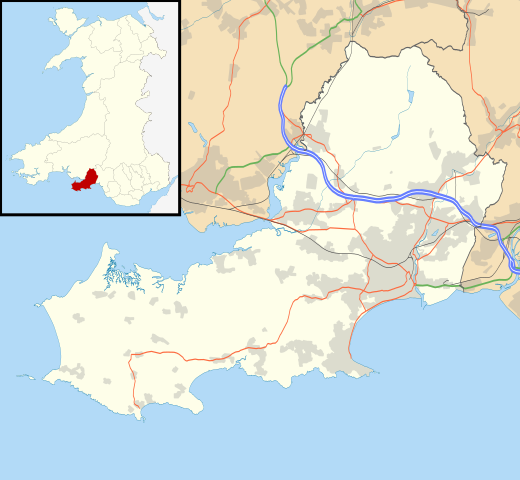
Blank map of Swansea, UK with the following information shown:
Equirectangular map projection on WGS 84 datum, with N/S stretched 160% Geographic limits:
|
| Ji̍t-kî | |
| Chhut-chhù |
|
| Chok-chiá | Nilfanion, created using Ordnance Survey data |
| 授權允准 (Bô siŏh-huòi sāi ciā ùng-giông) |
此檔案採用創用CC 姓名標示-相同方式分享 3.0 未在地化版本授權條款。 Biĕu-sê miàng-sáng: Contains Ordnance Survey data © Crown copyright and database right
|
| 其他版本 | File:Swansea UK map.svg - Blank map |
Tóng-àn le̍k-sú
Chhi̍h ji̍t-kî/sî-kan, khoàⁿ hit sî-chūn--ê tóng-àn.
| Ji̍t-kî/Sî-kan | Sáuk-liŏk-dù | Chióh-cháung | Iōng-chiá | Chù-kái | |
|---|---|---|---|---|---|
| hiān-chāi | 2010-nî 9-goe̍h 26-ji̍t (lé-pài) 19:43 | | 1,372 × 1,266(886 KB) | Nilfanion | {{Information |Description=Blank map of Swansea, UK with the following information shown: *Administrative borders *Coastline, lakes and rivers *Roads and railways *Urban areas Equirectangular map projection on WGS 84 datum, with N/S stretche |
Iáⁿ-siōng liân-kiat
Í-hā ê ia̍h liân kàu chit ê iáⁿ-siōng:
tóng-àn hō͘ lâng sái--ê chōng-hóng
Ē-kha--ê kî-thaⁿ wiki ēng tio̍h chit--ê tóng-àn:
- ar.wikipedia.org hō͘ lâng ēng--ê chêng-hêng
- ca.wikipedia.org hō͘ lâng ēng--ê chêng-hêng
- ceb.wikipedia.org hō͘ lâng ēng--ê chêng-hêng
- el.wikipedia.org hō͘ lâng ēng--ê chêng-hêng
- en.wikipedia.org hō͘ lâng ēng--ê chêng-hêng
- Swansea
- Gower Peninsula
- List of monastic houses in Wales
- Loughor
- Gorseinon
- West Cross
- Oystermouth
- Rhossili
- Swansea Airport
- Uplands, Swansea
- Swansea.com Stadium
- Singleton Hospital
- National Waterfront Museum
- Brynmill
- Birchgrove, Swansea
- Morriston
- Blackpill
- Cockett
- Cwmrhydyceirw
- Penclawdd
- Waunarlwydd
- Gowerton
- Felindre
- Manselton
- Mayals
- Llangennith
- Bishopston, Swansea
- Clydach, Swansea
- Kingsbridge, Swansea
- Llangyfelach
- Pontarddulais
- Swansea City Centre
- Port Eynon
- Swansea Museum
- Glynn Vivian Art Gallery
- Swansea services
- Pont Abraham Services
- Morriston Hospital
- Swansea Civic Centre
- Swansea Crown Court
- St Mary's Church, Swansea
- Cefn Coed Hospital
- Parkmill
- Loughor Castle
- Treboeth
- Sketty
檢視此檔案的更多全域使用狀況。