
tóng-àn:OH-87.svg

此 SVG 檔案的 PNG 預覽的大小:600 × 600 siōng-sò͘。 Kî-thaⁿ--ê kái-sek-tō͘: 240 × 240 siōng-sò͘ | 480 × 480 siōng-sò͘ | 768 × 768 siōng-sò͘ | 1,024 × 1,024 siōng-sò͘ | 2,048 × 2,048 siōng-sò͘.
Choân kái-sek-tō͘ (SVG ùng-giông, chék-cháung: 600 × 600 chuông-só, ùng-giông duâi-nâung:6 KB)
|
|
Che sī tùi Wikimedia Commons ín--lâi ê chi̍t hūn tóng-àn. I tī hia ê kì-su̍t-ia̍h téng-bīn ê chu-sìn hián-sī ùi ē-té. |
Khài-iàu
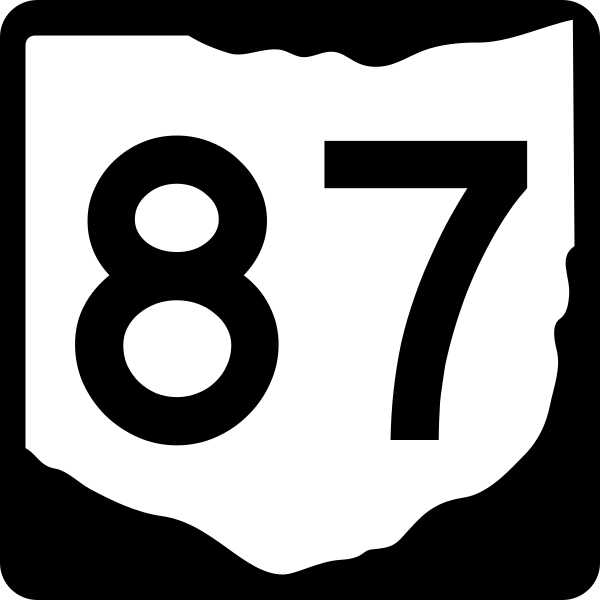
| Soat-bêng | 600 mm by 600 mm (24 in by 24 in) Ohio State Route shield, made to the specifications existing photos found on [Dan Garnell’s http://www.state-ends.com/ohio/ Ohio Highway Ends]. Uses the Roadgeek 2005 fonts. (United States law does not permit the copyrighting of typeface designs, and the fonts are meant to be copies of a U.S. Government-produced work anyway.) |
| Ji̍t-kî | |
| Chhut-chhù | Ka-tī chò--ê |
| Chok-chiá | Homefryes |
| 授權允准 (Bô siŏh-huòi sāi ciā ùng-giông) |
Public Domain |
Siū-khoân
This file is in the public domain because it comes from the Ohio Manual of Uniform Traffic Control Devices, sign number M1-5, which states specifically in its introduction, on page I-1 that:
|
Tóng-àn le̍k-sú
Chhi̍h ji̍t-kî/sî-kan, khoàⁿ hit sî-chūn--ê tóng-àn.
| Ji̍t-kî/Sî-kan | 細張圖 | 寸尺 | Iōng-chiá | Chù-kái | |
|---|---|---|---|---|---|
| hiān-chāi | 2012-nî 6-goe̍h 23-ji̍t (pài-la̍k) 21:06 | | 600 × 600(6 KB) | Highway Route Marker Bot | Update per User:Highway Route Marker Bot/Requests#Ohio state route markers using File:Ohio 2d template.svg. |
| 2006-nî 8-goe̍h 19-ji̍t (pài-la̍k) 05:26 |  | 600 × 600(10 KB) | Homefryes | == Summary == {{Information |Description=600 mm by 600 mm (24 in by 24 in) Ohio State Route shield, made to the specifications existing photos found on [Dan Garnell’s http://www.state-ends.com/ohio/ Ohio Highway Ends]. Uses the [http://www.triskele.com/ |
Iáⁿ-siōng liân-kiat
Í-hā ê ia̍h liân kàu chit ê iáⁿ-siōng:
tóng-àn hō͘ lâng sái--ê chōng-hóng
Ē-kha--ê kî-thaⁿ wiki ēng tio̍h chit--ê tóng-àn:
- en.wikipedia.org hō͘ lâng ēng--ê chêng-hêng
- Trumbull County, Ohio
- Geauga County, Ohio
- Cuyahoga County, Ohio
- Burton, Ohio
- Interstate 271
- U.S. Route 42
- Ohio State Route 8
- Euclid Avenue (Cleveland)
- Ohio State Route 11
- Ohio State Route 7
- Ohio State Route 44
- U.S. Route 422
- Blue Line (RTA Rapid Transit)
- Green Line (RTA Rapid Transit)
- Ohio State Route 91
- Ohio State Route 608
- Ohio State Route 5
- Ohio State Route 86
- Ohio State Route 87
- Ohio State Route 88
- List of state routes in Ohio
- Ohio State Route 306
- Ohio State Route 43
- Ohio State Route 10
- User:Homefryes/Toolbox
- Ohio State Route 14
- List of highways numbered 87
- Ohio State Route 700
- Ohio State Route 45
- Ohio State Route 46
- Ohio State Route 193
- Ohio State Route 534
- Ohio State Route 528
- Ohio State Route 168
- Interstate 77 in Ohio
- Template:Blue Line (RTA Rapid Transit)
- Template:RTA Green Line
- Innerbelt Bridge
- U.S. Route 6 in Ohio
- U.S. Route 20 in Ohio
- Opportunity Corridor
- Ohio State Route 175
- User:Reeveas2010/sandbox
- George V. Voinovich Bridges
- User:C16sh/sandbox/Sub
- Template:RTA Blue and Green Lines 1978 to 1990
- Template:SHRT Van Aken and Shaker Lines 1948 to 1975
- Template:SHRT Moreland and Shaker Divisions 1936 to 1948
- Template:CIRR Moreland and Shaker Divisions 1930 to 1936
- Template:CIRR Moreland and Shaker Divisions 1920 to 1928
檢視此檔案的更多全域使用狀況。