
tóng-àn:Antwerp, Ohio as viewed from Main Street.JPG
Choân kái-sek-tō͘ (3,264 × 2,448 siōng-sò͘ , tóng-àn chiàm-liōng: 3.34 MB, MIME luī-hêng: image/jpeg)
|
|
Che sī tùi Wikimedia Commons ín--lâi ê chi̍t hūn tóng-àn. I tī hia ê kì-su̍t-ia̍h téng-bīn ê chu-sìn hián-sī ùi ē-té. |
| 拍攝地點 | | 位於此地的本圖片與其他圖片: OpenStreetMap |
|---|
| Soat-bêng |
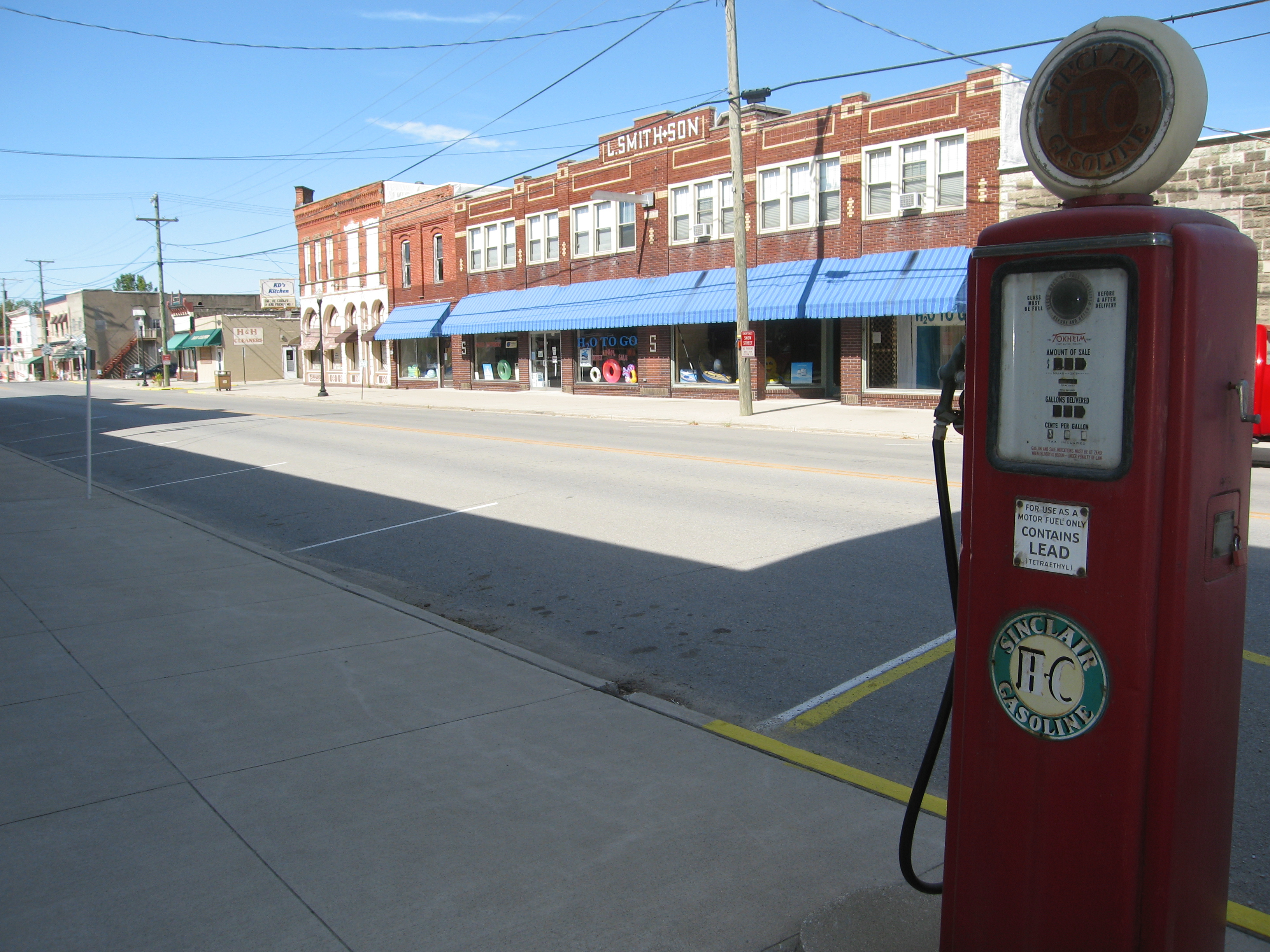
Photograph of the village of Antwerp, Ohioen, taken at street level from the intersection of Daggett and Main streets, looking North West up Ohio State Route 49 toward U.S. Route 24. |
| Ji̍t-kî | |
| Chhut-chhù | My own photographic work. |
| Chok-chiá | Photo by and ©2008 Dustin M. Ramsey (Kralizec!) |
| 授權允准 (Bô siŏh-huòi sāi ciā ùng-giông) |
You may NOT use this image on your own web site or anywhere else unless you release this image and any derivative works (which may include the web page or other medium where this image is used, if it is not considered a "collective work") by following the terms of the following license. Any other use will be considered a breach of copyright and I reserve the right of legal action. Please do not copy this image illegally by ignoring the terms of the license, as it is not in the public domain. If you would like special permission to use, license, or purchase the image or prints of the image, or for use in any other fashion or would simply like a copy of the original file, please contact me or email me first to ask. Note: While you are not required to do so by the license, please consider letting me know when you reuse one of my photograph images, as a courtesy. 我,本作品的著作權持有者,決定用以下授權條款發佈本作品: 此檔案採用創用CC 姓名標示-相同方式分享 2.5 通用版授權條款。
|
Tóng-àn le̍k-sú
Chhi̍h ji̍t-kî/sî-kan, khoàⁿ hit sî-chūn--ê tóng-àn.
| Ji̍t-kî/Sî-kan | 細張圖 | 寸尺 | Iōng-chiá | Chù-kái | |
|---|---|---|---|---|---|
| hiān-chāi | 2008-nî 10-goe̍h 21-ji̍t (pài-jī) 14:55 | | 3,264 × 2,448(3.34 MB) | Kralizec! | {{Information |Description = Photograph of the village of Antwerp, {{MultiLink|Ohio}}, taken at street level from the intersection of Daggett and Main streets, looking North West up [[:en:Ohio St |
Iáⁿ-siōng liân-kiat
Í-hā ê ia̍h liân kàu chit ê iáⁿ-siōng:
tóng-àn hō͘ lâng sái--ê chōng-hóng
Ē-kha--ê kî-thaⁿ wiki ēng tio̍h chit--ê tóng-àn:
- ar.wikipedia.org hō͘ lâng ēng--ê chêng-hêng
- ca.wikipedia.org hō͘ lâng ēng--ê chêng-hêng
- ceb.wikipedia.org hō͘ lâng ēng--ê chêng-hêng
- cy.wikipedia.org hō͘ lâng ēng--ê chêng-hêng
- en.wikipedia.org hō͘ lâng ēng--ê chêng-hêng
- es.wikipedia.org hō͘ lâng ēng--ê chêng-hêng
- eu.wikipedia.org hō͘ lâng ēng--ê chêng-hêng
- fa.wikipedia.org hō͘ lâng ēng--ê chêng-hêng
- fr.wikipedia.org hō͘ lâng ēng--ê chêng-hêng
- ht.wikipedia.org hō͘ lâng ēng--ê chêng-hêng
- it.wikipedia.org hō͘ lâng ēng--ê chêng-hêng
- lld.wikipedia.org hō͘ lâng ēng--ê chêng-hêng
- nl.wikipedia.org hō͘ lâng ēng--ê chêng-hêng
- pl.wikipedia.org hō͘ lâng ēng--ê chêng-hêng
- pt.wikipedia.org hō͘ lâng ēng--ê chêng-hêng
- sh.wikipedia.org hō͘ lâng ēng--ê chêng-hêng
- sr.wikipedia.org hō͘ lâng ēng--ê chêng-hêng
- uk.wikipedia.org hō͘ lâng ēng--ê chêng-hêng
- vi.wikipedia.org hō͘ lâng ēng--ê chêng-hêng
- www.wikidata.org hō͘ lâng ēng--ê chêng-hêng