
tóng-àn:Lancashire UK district map (blank).svg

此 SVG 檔案的 PNG 預覽的大小:513 × 600 siōng-sò͘。 Kî-thaⁿ--ê kái-sek-tō͘: 205 × 240 siōng-sò͘ | 410 × 480 siōng-sò͘ | 657 × 768 siōng-sò͘ | 876 × 1,024 siōng-sò͘ | 1,751 × 2,048 siōng-sò͘ | 1,116 × 1,305 siōng-sò͘.
Choân kái-sek-tō͘ (SVG ùng-giông, chék-cháung: 1,116 × 1,305 chuông-só, ùng-giông duâi-nâung:1.25 MB)
|
|
Che sī tùi Wikimedia Commons ín--lâi ê chi̍t hūn tóng-àn. I tī hia ê kì-su̍t-ia̍h téng-bīn ê chu-sìn hián-sī ùi ē-té. |
.svg)
| Soat-bêng |
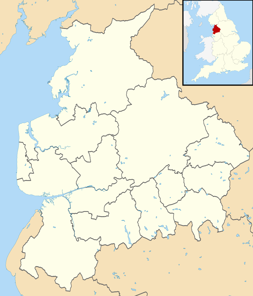
Map of Lancashire, UK with districts shown. Equirectangular map projection on WGS 84 datum, with N/S stretched 165% Geographic limits:
|
| Ji̍t-kî | |
| Chhut-chhù | Ordnance Survey OpenData. Most data from Boundary-Line product. Lake data from Meridian 2 product. Inset derived from England location map.svg by Spischot. |
| Chok-chiá | Nilfanion, created using Ordnance Survey data |
| 授權允准 (Bô siŏh-huòi sāi ciā ùng-giông) |
此檔案採用創用CC 姓名標示-相同方式分享 3.0 未在地化版本授權條款。 Biĕu-sê miàng-sáng: Contains Ordnance Survey data © Crown copyright and database right
|
| 其他版本 | Derivative works of this file: Lancashire parish map.svg |
Tóng-àn le̍k-sú
Chhi̍h ji̍t-kî/sî-kan, khoàⁿ hit sî-chūn--ê tóng-àn.
| Ji̍t-kî/Sî-kan | 細張圖 | 寸尺 | Iōng-chiá | Chù-kái | |
|---|---|---|---|---|---|
| hiān-chāi | 2010-nî 8-goe̍h 22-ji̍t (lé-pài) 08:12 | | 1,116 × 1,305(1.25 MB) | Nilfanion | +inset, water colour tweak |
| 2010-nî 7-goe̍h 16-ji̍t (pài-gō·) 23:41 |  | 1,116 × 1,305(925 KB) | Nilfanion | {{Information |Description=Map of Lancashire, UK with districts shown. Equirectangular map projection on WGS 84 datum, with N/S stretched 165% Geographic limits: *West: 3.13W *East: 2.03W *North: 54.25N *South: 53.47N |Source=[[w:Ordnan |
Iáⁿ-siōng liân-kiat
Bô poàⁿ ia̍h liân kàu chit tiuⁿ iáⁿ-siōng.
tóng-àn hō͘ lâng sái--ê chōng-hóng
Ē-kha--ê kî-thaⁿ wiki ēng tio̍h chit--ê tóng-àn:
- ast.wikipedia.org hō͘ lâng ēng--ê chêng-hêng
- de.wikipedia.org hō͘ lâng ēng--ê chêng-hêng
- Blackpool Tower
- Fylde
- Kernkraftwerk Heysham
- Ewood Park
- Deepdale
- Turf Moor
- Victoria Park (Nelson)
- Singing Ringing Tree
- Morecambe Bay
- Blackpool Airport
- Bloomfield Road
- Vorlage:Positionskarte England Lancashire
- Mazuma Mobile Stadium
- Marsh Mill
- Little Marton Mill
- Crown Ground
- Skerton Bridge
- Lune Millennium Bridge
- Plover Scar Lighthouse
- Wolfhole Crag
- Trough of Bowland
- White Hill (Forest of Bowland)
- Ward’s Stone
- Beach Lighthouse (Fleetwood)
- Pharos Lighthouse (Fleetwood)
- Wyre Light
- Grit Fell
- Clougha Pike
- Parlick
- Fair Snape Fell
- Hawthornthwaite Fell
- Loyn Bridge
- Highbury Stadium (Fleetwood)
- Stocks Reservoir
- Roddlesworth Reservoirs
- Anglezarke Reservoir
- Rivington Reservoirs
- Yarrow Reservoir
- High Bullough Reservoir
- Foulridge-Tunnel
- Laneshaw Reservoir
- Ogden Reservoirs
- Black Moss Reservoirs
- Slipper Hill Reservoir
- Rowley Lake
- Browsholme Tarn
- Benutzer:Kai Vettermann/Astronomie
- Hill Top Colliery
- Fairy Holes
檢視此檔案的更多全域使用狀況。
.svg)
.svg)