
tóng-àn:Thatched Cottage and Maypole - geograph.org.uk - 314401.jpg
Thatched_Cottage_and_Maypole_-_geograph.org.uk_-_314401.jpg (640 × 480 siōng-sò͘ , tóng-àn chiàm-liōng: 124 KB, MIME luī-hêng: image/jpeg)
|
|
Che sī tùi Wikimedia Commons ín--lâi ê chi̍t hūn tóng-àn. I tī hia ê kì-su̍t-ia̍h téng-bīn ê chu-sìn hián-sī ùi ē-té. |
Khài-iàu
| Soat-bêng |
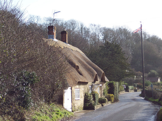
English: Thatched Cottage and Maypole Ansty is a very picturesque village with a large pond surrounded by the Manor House, cottages and ancient Commandery.
It has been the scene of May Day gatherings for over 1,000 years. The Maypole itself was a gift from the Arundells of Wardour Castle and replaced every twenty years - the present one is keeping with earlier tradition, still has a silver coin lodged beneath the weather vane. It is said that whoever is brave enough or foolhardy enough to climb the pole can keep it. Originally, tenants of the Wardour estate brought their children to meet each other and dance around the maypole every year. This gathering has continued annually for hundreds of years, except during 1644 to 1660 when Puritan officials removed the pole by government statute. |
| Ji̍t-kî | |
| Chhut-chhù | From geograph.org.uk |
| Chok-chiá | Trish Steel |
| 拍攝地點 | | 位於此地的本圖片與其他圖片: OpenStreetMap |
|---|
_heading:135.00&language=nan)
| 目標地點 | | 位於此地的本圖片與其他圖片: OpenStreetMap |
|---|
_heading:135.00&language=nan)
Siū-khoân

|
- 你會使自由:
- 分享 – kho͘-pih, hoat-pò͘ kap thoân-pò͘ pún chok
- 重新修改 – kái-pian pún chok-phín
- Àn i-hā ê tiâu-kiāⁿ
- 標示名姓 – 您必須指名出正確的製作者,和提供授權條款的連結,以及表示是否有對內容上做出變更。您可以用任何合理的方式來行動,但不得以任何方式表明授權條款是對您許可或是由您所使用。
- 仝款方式方享 – Lí nā kái-tōng, piàn-khoán, he̍k-chiá kun-kù pún chok chhòng-chō, lí kaⁿ-taⁿ ē-tàng ēng kap pún chok kâng-khoán he̍k-chiá saⁿ-chhiūⁿ ê hí-khó lâi hoat-pò͘ chò--chhut-lâi ê chok-phín.
Tóng-àn le̍k-sú
Chhi̍h ji̍t-kî/sî-kan, khoàⁿ hit sî-chūn--ê tóng-àn.
| Ji̍t-kî/Sî-kan | 細張圖 | 寸尺 | Iōng-chiá | Chù-kái | |
|---|---|---|---|---|---|
| hiān-chāi | 2010-nî 12-goe̍h 30-ji̍t (pài-sì) 15:53 | | 640 × 480(124 KB) | GeographBot | == {{int:filedesc}} == {{Information |description={{en|1=Thatched Cottage and Maypole Ansty is a very picturesque village with a large pond surrounded by the Manor House, cottages and ancient Commandery. It has been the scene of May Day gatherings for |
Iáⁿ-siōng liân-kiat
Í-hā ê ia̍h liân kàu chit ê iáⁿ-siōng:
tóng-àn hō͘ lâng sái--ê chōng-hóng
Ē-kha--ê kî-thaⁿ wiki ēng tio̍h chit--ê tóng-àn:
- ceb.wikipedia.org hō͘ lâng ēng--ê chêng-hêng
- en.wikipedia.org hō͘ lâng ēng--ê chêng-hêng
- fr.wikipedia.org hō͘ lâng ēng--ê chêng-hêng
- lld.wikipedia.org hō͘ lâng ēng--ê chêng-hêng
- pl.wikipedia.org hō͘ lâng ēng--ê chêng-hêng
- www.wikidata.org hō͘ lâng ēng--ê chêng-hêng