
tóng-àn:USACE Depoe Bay Oregon.jpg

Seng khoàⁿ chiàm-liōng: 800 × 528 siōng-sò͘. Kî-thaⁿ--ê kái-sek-tō͘: 320 × 211 siōng-sò͘ | 640 × 422 siōng-sò͘ | 1,024 × 676 siōng-sò͘ | 1,500 × 990 siōng-sò͘.
Choân kái-sek-tō͘ (1,500 × 990 siōng-sò͘ , tóng-àn chiàm-liōng: 959 KB, MIME luī-hêng: image/jpeg)
|
|
Che sī tùi Wikimedia Commons ín--lâi ê chi̍t hūn tóng-àn. I tī hia ê kì-su̍t-ia̍h téng-bīn ê chu-sìn hián-sī ùi ē-té. |
| Soat-bêng |
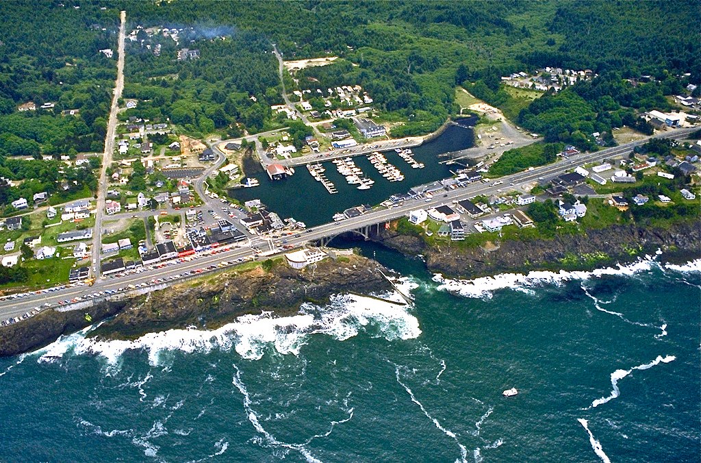
English: Aerial view of the harbor and center of Depoe Bay, Oregon, USA. |
|||
| 圖中地點 | Depoe Bay, Oregon, USA 44°48′33.61″N 124°3′38.08″W / 44.8093361°N 124.0605778°W |
|||
| Ji̍t-kî | ||||
| Chhut-chhù |
U.S. Army Corp of Engineers Digital Visual Library Digital Visual Library home page Image page Image description page |
|||
| Chok-chiá | Bob Heims, U.S. Army Corps of Engineers | |||
| 授權允准 (Bô siŏh-huòi sāi ciā ùng-giông) |
|
Tóng-àn le̍k-sú
Chhi̍h ji̍t-kî/sî-kan, khoàⁿ hit sî-chūn--ê tóng-àn.
| Ji̍t-kî/Sî-kan | 細張圖 | 寸尺 | Iōng-chiá | Chù-kái | |
|---|---|---|---|---|---|
| hiān-chāi | 2012-nî 5-goe̍h 24-ji̍t (pài-sì) 01:18 | | 1,500 × 990(959 KB) | Ian Page | Colour-enhanced version of original file |
| 2007-nî 4-goe̍h 16-ji̍t (pài-it) 02:54 |  | 1,500 × 990(478 KB) | DanMS | {{Information2 | Description = {{en|Aerial view of the harbor and center of Depoe Bay, Oregon, USA.}} | Source = U.S. Army Corp of Engineers Digital Visual Library<br />[http://images.usace.army.mil/Main.html Digital Visual Library home page]<br />[h |
Iáⁿ-siōng liân-kiat
Í-hā ê ia̍h liân kàu chit ê iáⁿ-siōng:
tóng-àn hō͘ lâng sái--ê chōng-hóng
Ē-kha--ê kî-thaⁿ wiki ēng tio̍h chit--ê tóng-àn:
- ar.wikipedia.org hō͘ lâng ēng--ê chêng-hêng
- azb.wikipedia.org hō͘ lâng ēng--ê chêng-hêng
- bg.wikipedia.org hō͘ lâng ēng--ê chêng-hêng
- ca.wikipedia.org hō͘ lâng ēng--ê chêng-hêng
- ceb.wikipedia.org hō͘ lâng ēng--ê chêng-hêng
- ce.wikipedia.org hō͘ lâng ēng--ê chêng-hêng
- cs.wikipedia.org hō͘ lâng ēng--ê chêng-hêng
- cy.wikipedia.org hō͘ lâng ēng--ê chêng-hêng
- de.wikipedia.org hō͘ lâng ēng--ê chêng-hêng
- en.wikipedia.org hō͘ lâng ēng--ê chêng-hêng
- en.wikivoyage.org hō͘ lâng ēng--ê chêng-hêng
- es.wikipedia.org hō͘ lâng ēng--ê chêng-hêng
- eu.wikipedia.org hō͘ lâng ēng--ê chêng-hêng
- fa.wikipedia.org hō͘ lâng ēng--ê chêng-hêng
- fi.wikipedia.org hō͘ lâng ēng--ê chêng-hêng
- fr.wikipedia.org hō͘ lâng ēng--ê chêng-hêng
- ht.wikipedia.org hō͘ lâng ēng--ê chêng-hêng
- hu.wikipedia.org hō͘ lâng ēng--ê chêng-hêng
- it.wikipedia.org hō͘ lâng ēng--ê chêng-hêng
- ky.wikipedia.org hō͘ lâng ēng--ê chêng-hêng
- lld.wikipedia.org hō͘ lâng ēng--ê chêng-hêng
- pl.wikipedia.org hō͘ lâng ēng--ê chêng-hêng
- pt.wikipedia.org hō͘ lâng ēng--ê chêng-hêng
- sh.wikipedia.org hō͘ lâng ēng--ê chêng-hêng
- sr.wikipedia.org hō͘ lâng ēng--ê chêng-hêng
- tt.wikipedia.org hō͘ lâng ēng--ê chêng-hêng
- uk.wikipedia.org hō͘ lâng ēng--ê chêng-hêng
- uz.wikipedia.org hō͘ lâng ēng--ê chêng-hêng
- www.wikidata.org hō͘ lâng ēng--ê chêng-hêng